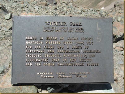
On the last day of our vacation, Jennifer and I hiked Wheeler Peak, the highest peak in New Mexico at 13,161 feet. After much deliberation, we opted for the Bull of the Woods trail which starts in the Taos Ski Valley parking lot. This is about a one hour drive from Red River even though it is only about 5 miles away as the crow flies. We decided to do this route because it has good views along the ridge, and we figured it would have the least snow which was a concern because we were pretty early in the season.
We made it to the trailhead a little after 7am and were on the trail by 7:30. The trailhead begins at elevation 9417 feet. The one way distance is approximately 7.5 miles.
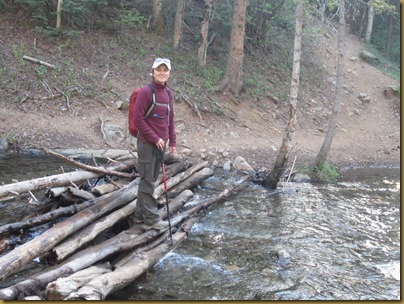
The first part of the trail quickly gains elevation with several switchbacks making for a pretty good wake up call. By 8am, we had reached a water crossing.
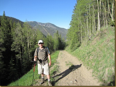
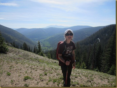
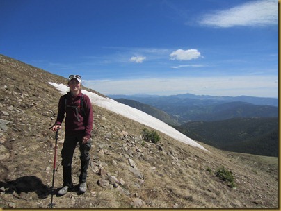
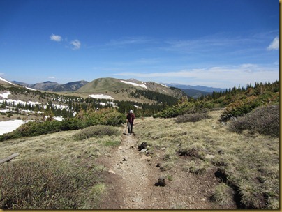
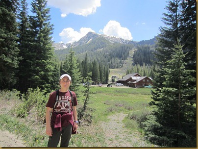
The weather was fantastic. Blue skies, about 60 degrees, calm wind. You can see Taos Ski Valley in the background.
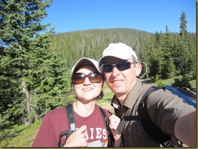
By 8:45am, we had reached Bull of the Woods Pasture. We tried to get a picture of us in the meadow but mainly just got us with no meadow.
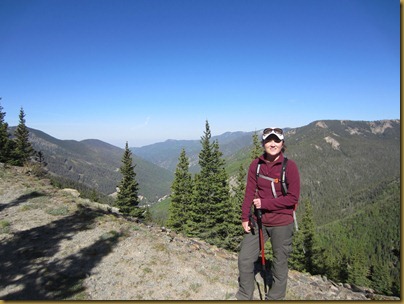
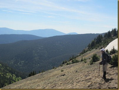
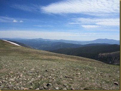
Here the trail splits and we took the route towards Wheeler. A little further up, we reached a ridge with views back to the Red River Valley. Just simply gorgeous.
The trail then wraps around Bull of the Woods Mountain and through some timber for a bit. We got some good views of the Taos Ski Valley.
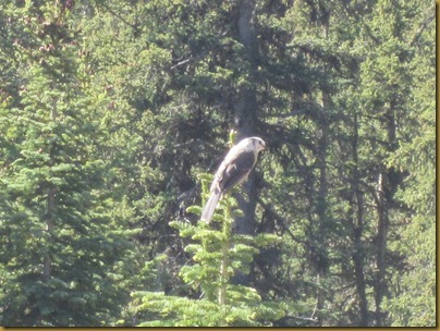
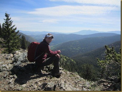
Pretty soon we were back on the ridge with more views into the Red River Valley. We stopped here for a break. We had some gray jays join us looking for a snack. One bird was pretty aggressive, dive bombing us when we pulled out the trail mix. They reminded us of Mockingjays from The Hunger Games Trilogy.
We took a break at about 9:20am, almost 2 hours into the hike.
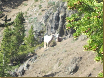
While we were sitting there, we saw some bighorn sheep down the slope to our right. Sorry for the blurry picture, my point and shoot was apparently focusing on the tree branch in front of me.
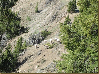
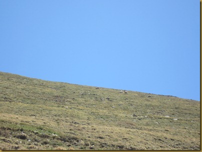
First there were two sheep. While we were watching them through our binoculars, we saw a few more walk out. Pretty soon it was a whole herd. We thought it was pretty neat at first.
Then all of a sudden we heard a strange sound. I suggested it was just some birds signing. Jennifer guessed it was sheep bleating. She was right. The next thing we knew, a large male came around the corner from the tree in the foreground. He was about 15-20 yards from us and headed our direction. Yikes! Needless to say, we didn’t bother to get any pictures while we were scrambling to gather our belongings and keep moving. We hopped back onto the trail and could see the sheep through the trees watching us. As we watched, more and more sheep appeared with the male that had first ventured in our direction. It was kind of scary because we saw young sheep with the herd so we thought they might be protective. Also, the trail was going towards the sheep along the ridge and they were down slope to the left. We were hoping to get past them and along the ridge without making them too excited. After walking a couple of minutes at a brisk pace, we turned back and saw the entire heard of 20+ sheep following the male and headed down the trail we just came up. If we had been 15 minutes later arriving at that point, things could have gotten pretty interesting in a hurry.
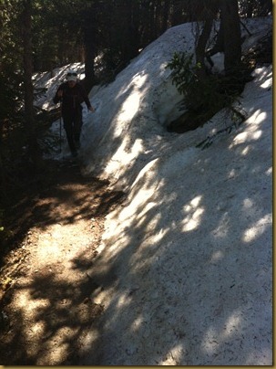
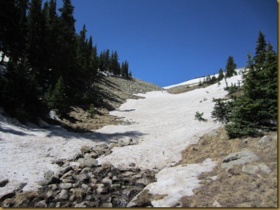
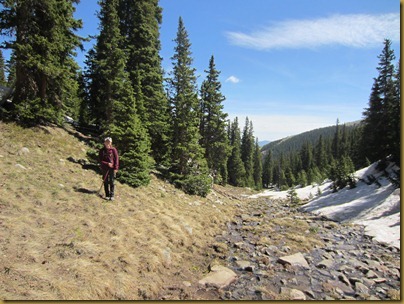
After our sheep encounter, the trail makes a sharp jog into the woods where we came across some deep snow. We stopped and put on our gaiters.
We made it through the snow and pretty soon we were back on the ridge. In hindsight, we probably could have skipped the gaiters, saved 20 minutes and stayed on the ridge.
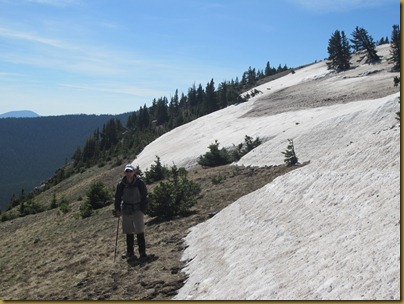
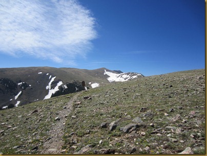
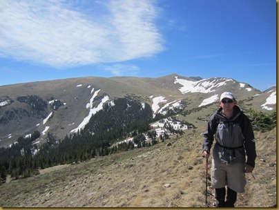
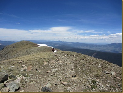
At this point, we were pretty close to the tree line and started seeing some larger snow banks.
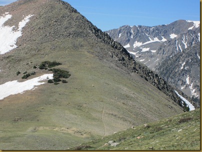
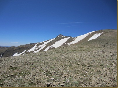
Soon we reached Frazier Mountain. Wheeler Peak is just over that ridge in the distance.
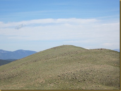
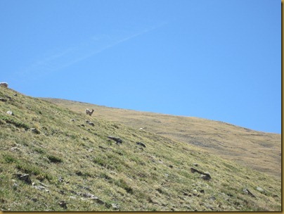
We looked back and saw another large ram on the top of this peak. You can see a little white speck on the highpoint. For a moment, we thought they might be following us. They weren’t.
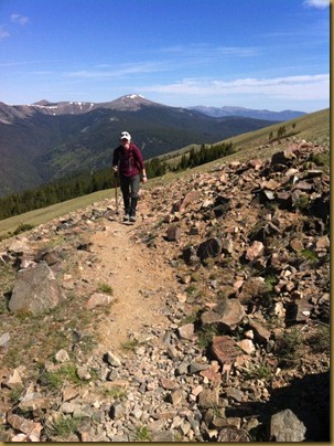
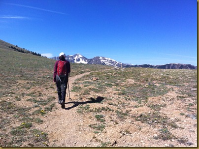
Jennifer was a hiking machine
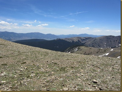
Here are some pretty views back to the north.
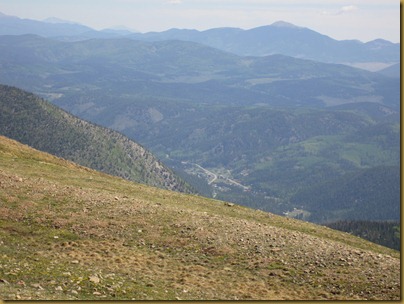
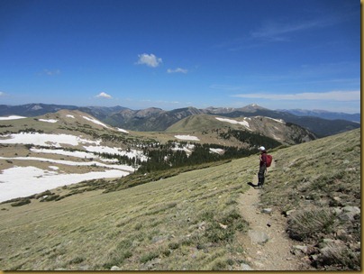
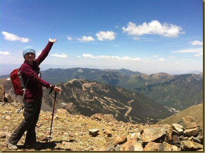
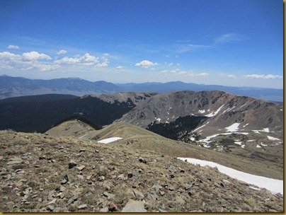
Here are more views of the Red River Valley in the foreground. The valley looked smaller and smaller the higher we climbed. The views were just amazing.
Still climbing…
Pretty soon, we saw some more sheep on the hillside across the valley from us. This picture is taken just before we descended into La Cal Basin. Right after I took this picture, a runner came jogging past us. He was running to the top of Wheeler Peak. Talk about a workout.
We dropped down into La Cal Basin only to hike back up this slope. It was pretty neat to stand by the edge of the snow and listen to the running water beneath from the snowmelt.
Once we made it to the top, we stopped for another break before beginning the next 1000+ feet of elevation gain.
Still hiking (11:10am)
We saw another herd of sheep on the slope ahead. We actually got pretty close to these before they decided to dart. Once they decided to leave though, they were across the valley before we could blink.
Looking back at our progress. The trees in the middle of the picture were in La Cal Basin where we took our last break and Frazier is the bare mountain just above.
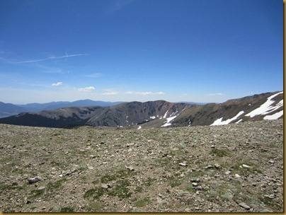
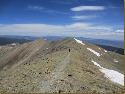
Finally we made it to the ridge that Wheeler is on.
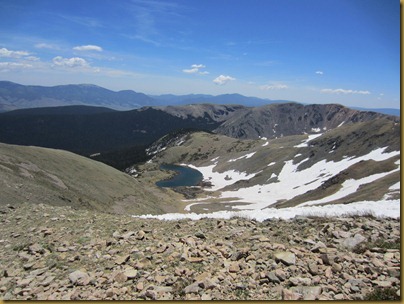
This is Horseshoe Lake which also has a trail to Wheeler Peak from the East Fork of the Red River Valley.
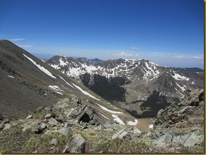
Looking back towards Kachina
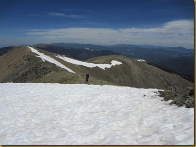
Here is Jennifer getting ready to cross a snow field before ascending Mt. Walter.
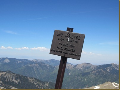
We made it to Mt. Walter
On the ridge
Approaching the summit
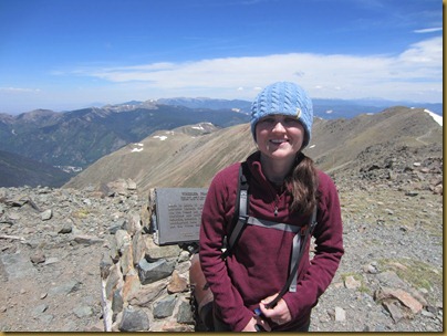
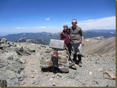
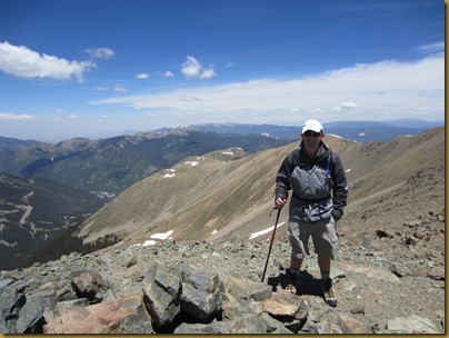
We made it!
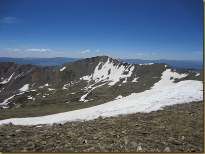
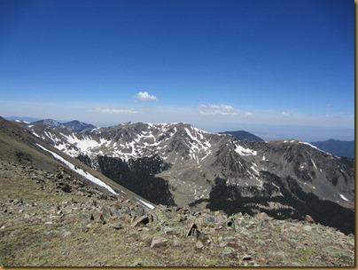
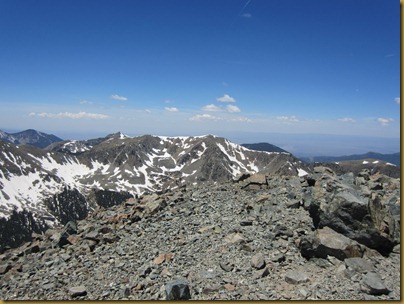
You can see the ridge we came up in the background.
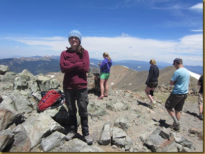
We made it to the top at about 12:25. There was a group of teenagers in shorts and t-shirts (locals). They had come up the Williams Lake trail. They were nice and snapped a picture for us before heading down.
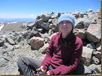
This pile of rocks made a good shelter from the wind.
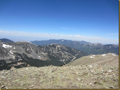
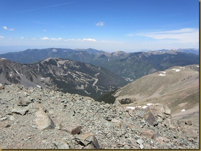
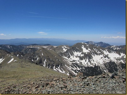
We took a break and enjoyed the views from the top.
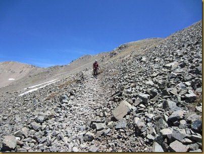
For some variety and the sake of time, we decided to follow the kids and go down the Williams Lake trail. It winds down on a scree slope towards Williams Lake which is uphill from the Kachina Ski Lift.
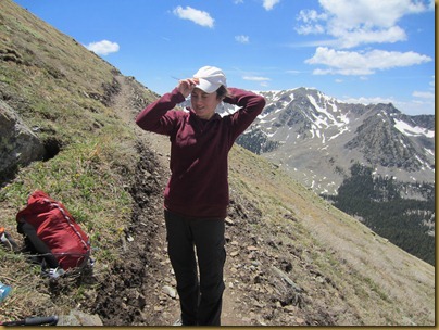
Pretty soon it we had dropped enough elevation and it was warming up enough that we could shed some layers.
Here is Williams Lake below
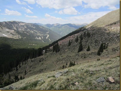
Looking down into Taos Ski Valley. You can see the trail switching back down below.
Pretty soon after the previous picture, the trail made it back into the woods and started encountering some more significant snow banks. Before we knew it, we had lost the trail. This had happened to me before on this trail so we just started heading downhill. At this point, Jennifer was quite sure we were going to be dead very soon. She thought a bear was going to come out at anytime and eat us. I kept telling her we would be fine. After about 20 minutes of bush wacking, I started yelling and some other hikers answered me. We were only about 20 yards uphill from the trail but had apparently crossed it and didn’t realize. After we got back on the trail, it wasn’t much longer and we had reached the Kachina ski lift (2:45 pm).
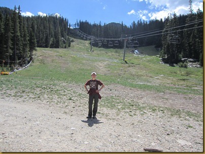
From here, we decided we were tired of hiking and made a plan to catch a ride back to the base of the mountain (still about 4 miles away). We started walking along the road expecting a steady stream of cars to be leaving the Bavarian which you can see just behind us. Unfortunately, we walked about a mile on the dirt road before we saw our first car and they didn’t stop. Then we walked another half mile or so when we saw another car which pulled over. It turned out to be the proprietor of the Bavarian who was very nice and gave us a ride back to our car. We promised him we would come eat at his restaurant the next time we were at Taos to make it up to him.
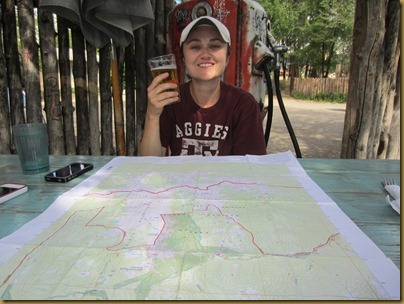
Fully exhausted and starving, we headed to Taos Pizza Outback for some beer and pizza. We got there in time for happy hour ($5 for a HUGE slice of pizza and a pint of beer) where we studied the map and our route. Jennifer just mainly drank her beer and tried not to pass out.
Overall, this was a great trip with just enough adventure to keep it interesting. I’m really glad it worked out because we had been eagerly looking forward to it since we started planning our vacation. It was the perfect punctuation to a great week!
Climb the highest point in New Mexico: check check double check!
